When people ask me what I enjoy most about being a land surveyor, I often say it feels a bit like being both a detective and a historian. Every site tells a story – sometimes through old boundary markers hidden in the woods, sometimes through faded records or maps that need to be interpreted and verified. Piecing together these details to solve puzzles about land ownership, boundaries, and terrain keeps the job both challenging and rewarding. For technicians entering the field, the work offers a mix of technology, problem-solving, and collaboration across disciplines.
Building Experience with Modern Survey Equipment

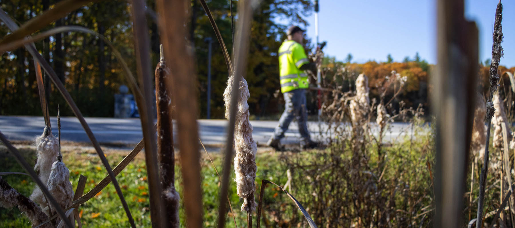
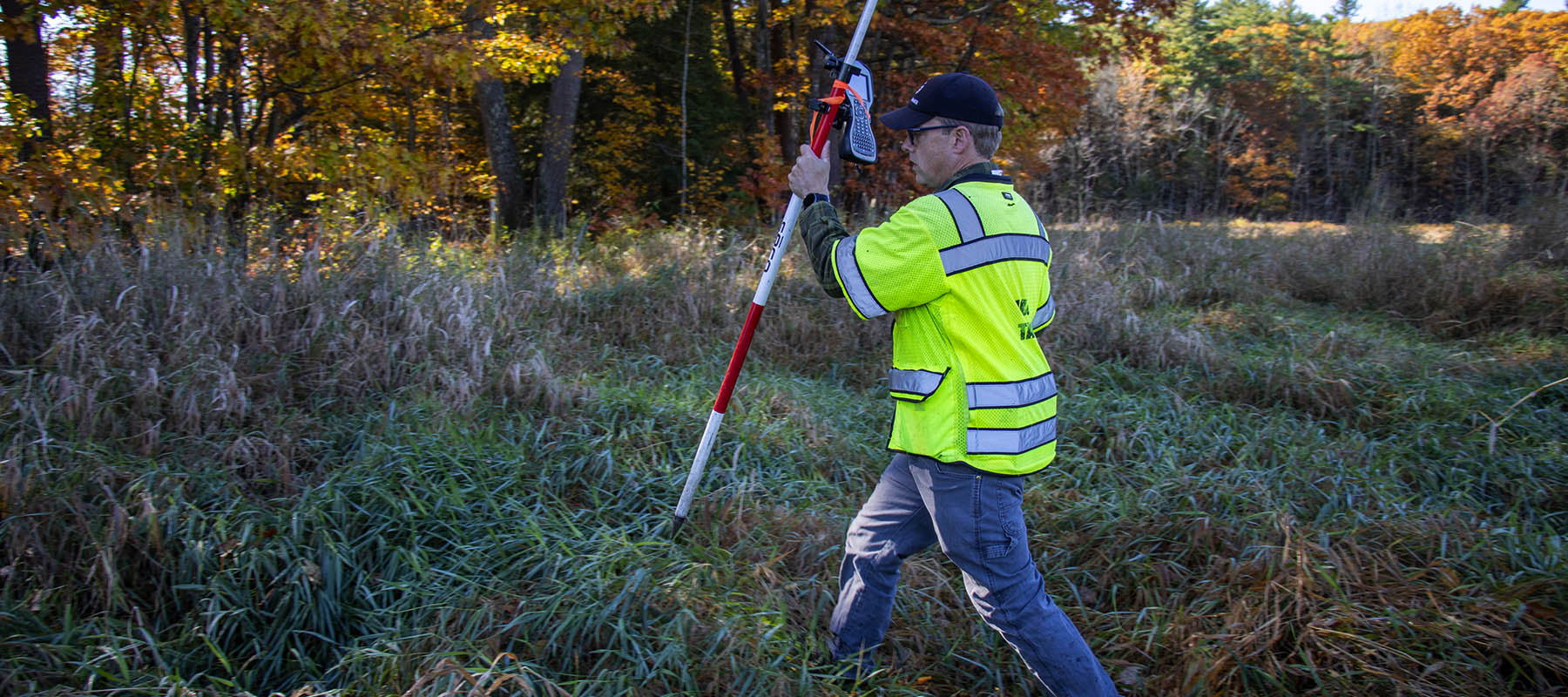
Surveying has always been about accuracy and precision, but our options for achieving that precision while maintaining accuracy have expanded dramatically. With robotic and non-robotic total stations, for example, we now have more flexibility in how we approach a project.
Robotic total stations make it possible to work solo on open sites, cutting down on manpower needs and eliminating the back-and-forth of radio communication. On the other hand, these systems face challenges in heavily wooded or remote areas, where obstructions can interfere with locating a person among the trees. In those situations, a two-person team is often the safer and more efficient choice. While robotic systems can still work if you’re able to complete enough cross-checks, sometimes the tried-and-true teamwork approach just makes more sense.
Applying Drone Technology in Survey Practice
Another tool transforming our work is drone technology. Photogrammetry allows us to collect high-resolution imagery and generate accurate topographic surveys. For example, my colleague Tim Bernier, both a licensed land surveyor and FAA Commercial Drone Pilot, has used this technology to deliver topographic surveys for clients. Similarly, our team member Schuyler Lamoureux, also a licensed drone pilot, leverages drones for identifying obstructions in airport approach areas.
That said, it’s important to recognize the limitations of drone-based surveys. While drones are powerful tools, they work best when paired with a strong understanding of topographic survey practices to ensure the data collected is both useful and reliable.
The Types of Projects Our Survey Team Supports

Surveying isn’t just about maps and markers; it’s about helping communities and clients move their projects forward. Right now, our team is working on:
- Subdivision for housing – With ongoing conversations about the housing market, there’s urgency to complete subdivision work quickly so new inventory can reach the market. The pace of projects like these can be demanding, but it’s rewarding to know the work contributes directly to addressing community housing needs.
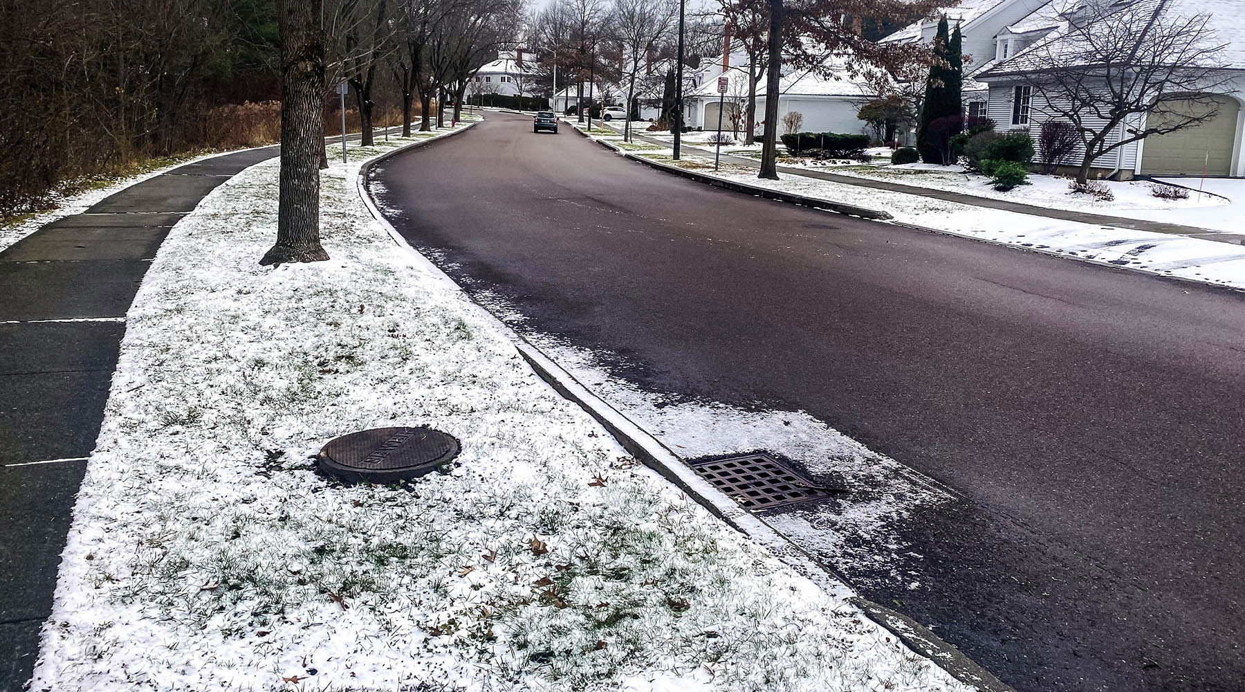
- Wetlands permit and stream crossing – In New Hampshire, House Bill 2 recently introduced changes to environmental permitting. Our survey team has been closely collaborating with our Environmental Permitting team to interpret these new rules and ensure our client’s project moves forward smoothly. With their expertise at our disposal, the necessary wetland and stream crossing permits were eventually obtained for a recent project, and the project is now in its construction phase.
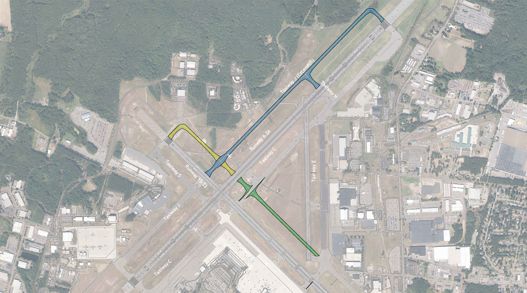
- Topographic and utility survey at Hanscom Airport – We recently performed a topographic survey of a section of Hanscom Airport in Bedford, Massachusetts. The engineering team needed precise elevations of features and surfaces to design a replacement blast wall, which will better protect a terminal and parking lot from the exhaust of jets on the nearby tarmac.
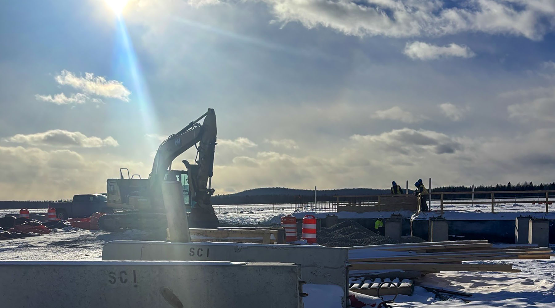
- Existing conditions survey for upgrades to the Littleton, NH Wastewater Treatment Facility – This facility in Littleton, NH is badly in need of repair and upgrading. We have been tasked with creating an up-to-date topographic and existing conditions survey of the terrain, buildings and utility infrastructure so that the engineering team can tailor their designs to the site. This one is actually somewhat personal for me as I’ve been travelling up to Littleton and the nearby towns since I was a kid, visiting family in the area. It’s a good feeling to be doing work that will materially benefit a community I care about.
A Profession that Keeps you Learning
Surveying is more than just measuring land; it’s about solving problems, applying technology in thoughtful ways, and making sure projects can move forward with confidence. From uncovering the history of a property to navigating the latest regulatory changes or using drones to expand our reach, the work keeps us learning and adapting every day. Reach out to me if you’d like to learn more about it or have a surveying need in your community.