We’re Doing QSRs – what are they?
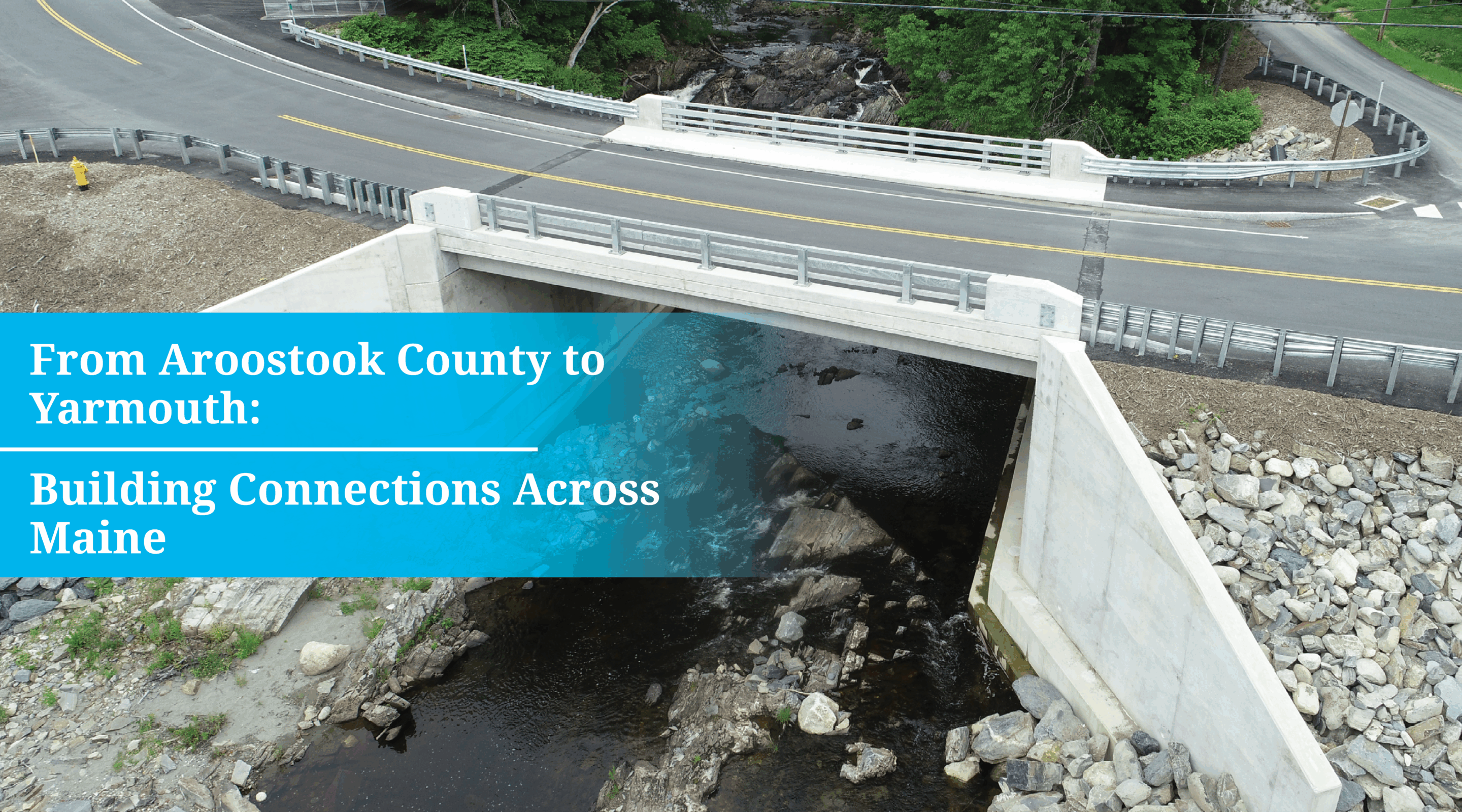
Qualitative scour reports (QSRs) document the scour history and vulnerability of a bridge. We are currently working on multiple QSRs for MaineDOT. Scour is the removal of bed material from areas in front of structures in the flow due to forces of water on the obstruction creating vortexes. An easy way to visualize this process is to imagine standing at the edge of the water at the beach, and as waves crash against your legs, observing what happens to the sand around your feet. It starts to wash away because your legs are now an obstruction in the water. Now scale that up and that is also what happens around bridge structures in the water such as abutments and piers.
Why are they important?
QSRs are important for safety. If a bridge undergoes a lot of scour, over time, the supporting structure will likely become exposed to the water flow, and that can be a detriment to the stability of the bridge. If a bridge needs scour countermeasures, a QSR is a starting point for determining what those countermeasures could be.
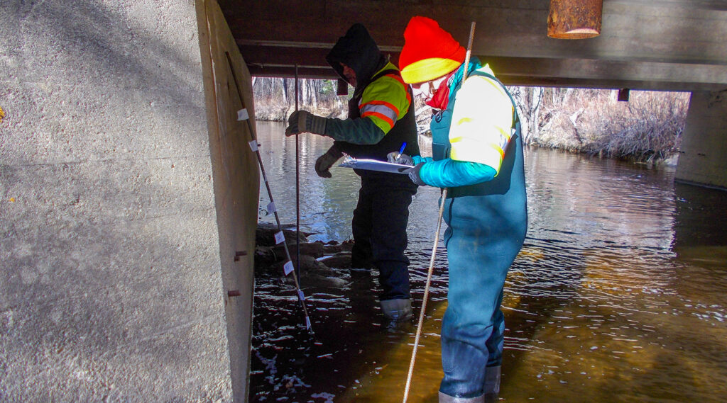
What does it take to create a comprehensive QSR?
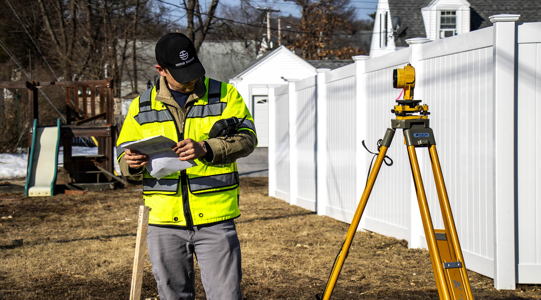
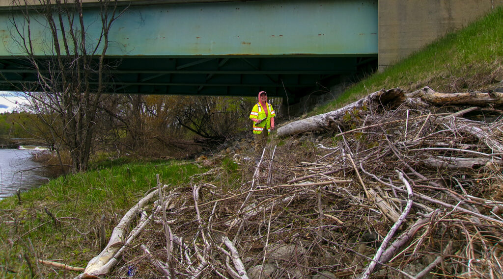
We use good-old-fashioned measuring tape and attach sounding weights to the end, drop it down from the bridge deck, and then subtract that depth measurement from the established elevation of the datum on the bridge. This gives us a streambed elevation, which we then use to create a streambed profile. Additional profiles are created based on the original survey, and any other depth readings that were taken during previous underwater inspections. Comparing multiple streambed profiles allows us to track changes in the streambed elevation over time. Other things we look for during field visits are the angle of attack (is the water hitting the bridge at a sharp angle?), evidence of high water such as water marks or debris built up in trees, on the banks, or on the structure, and what the streambed material is comprised of. Streambed material is an important factor in scour susceptibility; for instance, if the bed is predominantly sand, it is more highly mobile. Beds that have evidence of armoring either due to natural cobbles or placed riprap will be more protected from scour.
Completing a QSR is often like putting together a puzzle. In addition to field observations and streambed profiles, there are so many different pieces of information that need to be gathered, and some of it can be pretty old. We have worked on bridges that were built in the 1920s, so looking at those plans can be challenging, but also fascinating to see hand-drawn “old timey” plans! In addition to plans, other data that we gather includes bridge inspection reports, construction notes, subsurface investigation reports, and any available information about flood history. (Discover how we traced a shoreline through history for another project!)
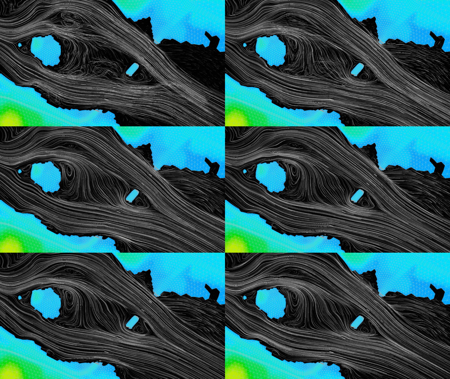
Another important thing to consider when conducting a qualitative scour report is what type of water body the bridge is spanning. With our work for MaineDOT, we have done QSRs on bridges that span small brooks, large rivers, tidal rivers, and canals. Each bridge requires unique information to be gathered to make the assessment. The bridges over canals that we worked on were interesting to investigate because both were part of larger hydroelectric dam operations. This was like solving a mystery, because not only did we need to gather information on the bridges themselves, but also information on how the whole system of dams, gatehouses, and any other structures were interconnected. The analysis part of the canal bridges was simple though, because we found in both cases that the water elevation is typically kept constant within the canal, therefore the scour risk is low. Bridges over large rivers require more analysis. Topographic data is gathered (LiDAR) and a 2D hydraulic model is built. (To learn more about 2D hydraulic modeling in depth, read this blog from our expert.) Data from the model is used to calculate scour depths. The calculated scour is compared to the observed streambed profiles, as well as the elevations of the footings/foundations of the bridge. The field gathered data, review of documentation, and the calculated scour are all the pieces we put together to finalize the QSR and to assign the bridge a rating of how vulnerable the bridge is to scour.
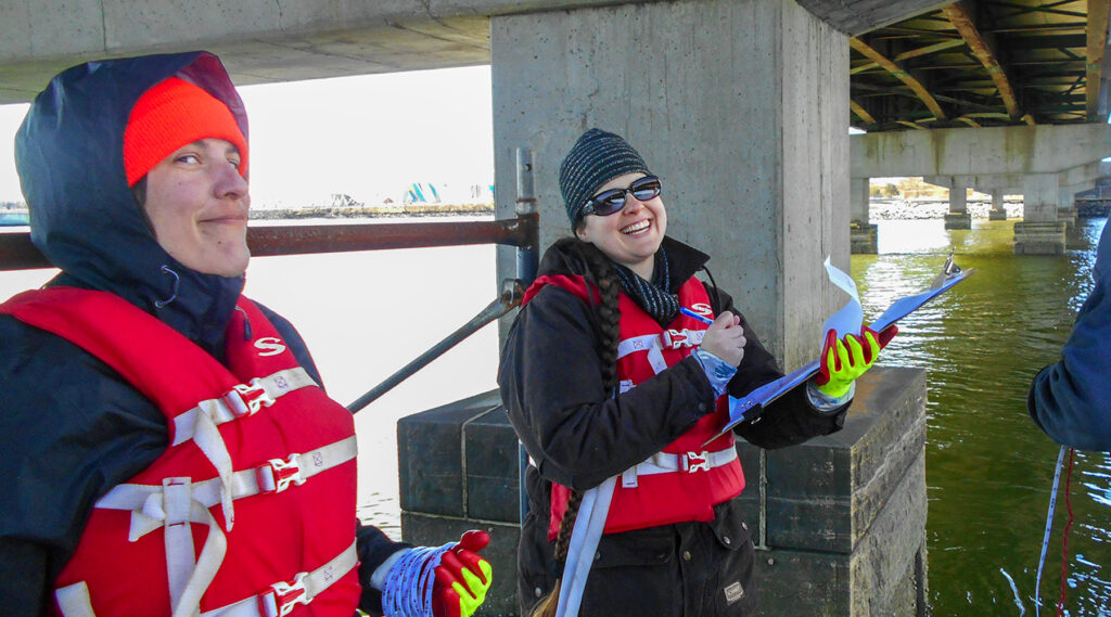
How we can help your community
Clients responsible for maintaining bridges over water may want to have QSRs performed. The National Bridge Inventory (NBI), which is part of the Federal Highway Administration (FHWA), requires bridges to be evaluated for scour vulnerability. As technology and times change, so do the recommendations and rating processes. These are currently being reviewed by federal agencies.
In an industry where critical infrastructure is being funded, designed and constructed through many regulatory agencies, it is important that a design partner can provide the longevity requirements necessary for bridge construction. When our clients work with Hoyle Tanner—an independent firm with decades of experience in the bridge industry—they can trust they’re building a relationship for a long-time to come. From bridge design, safety inspections, capacity ratings, emergency response services, or just making a recommendation on which problems to prioritize, we’ve truly seen it all and are committed to each project because we’re committed to the communities where we live and work. Reach out to me to learn more!
Read my other article:
Navigating the Scenic Route: Hydrology & Wetlands in My Engineering Career or learn about where I volunteered in 2023!

