Survey
From accurate land measurements to comprehensive site analysis, our expert survey team empowers clients with invaluable insights, ensuring seamless project planning and execution.
Comprehensive Land Surveying & Development Solutions
We have partnered with a wide range of clients to deliver exceptional land surveying, planning, permitting, and development consultation services throughout New England. With a strong command of local, regional, and state land-use regulations, our team is a trusted resource in the civil/site and land development industry. From boundary surveys and topographic mapping to construction layout and cutting-edge UAV mapping, we provide precise and reliable solutions. Our offerings also encompass feasibility studies, zoning compliance, and regulatory permitting, ensuring a smooth progression through every stage of development.
Our success lies in collaboration, working closely with regional planners, environmental consultants, and other experts to create integrated solutions for complex projects. This cooperative approach allows us to address diverse challenges and consistently deliver innovative, efficient results in land surveying and site development.
Our comprehensive experience not only includes land surveying but also the following innovative services:
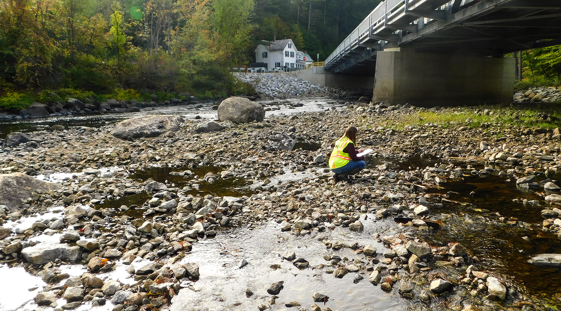
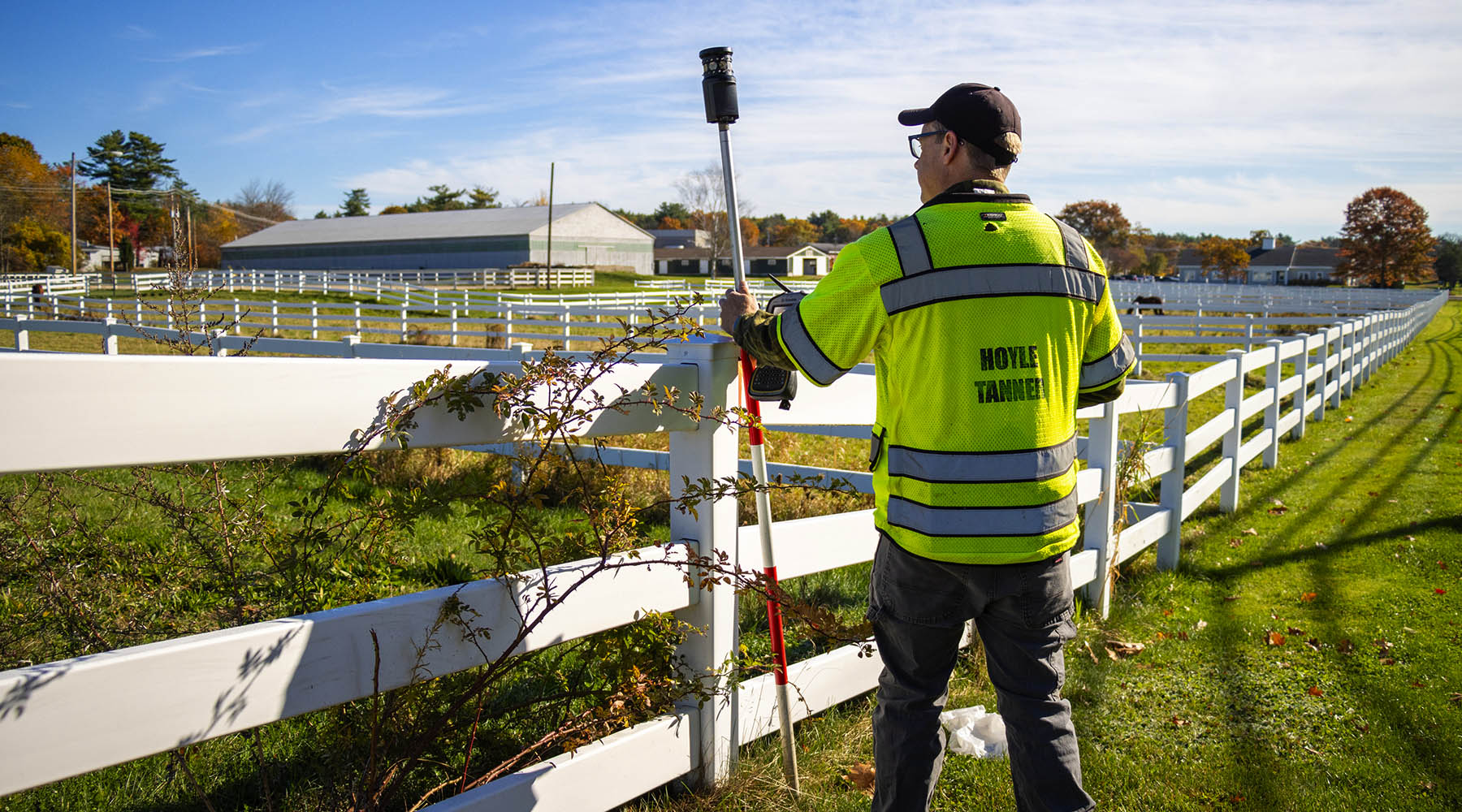
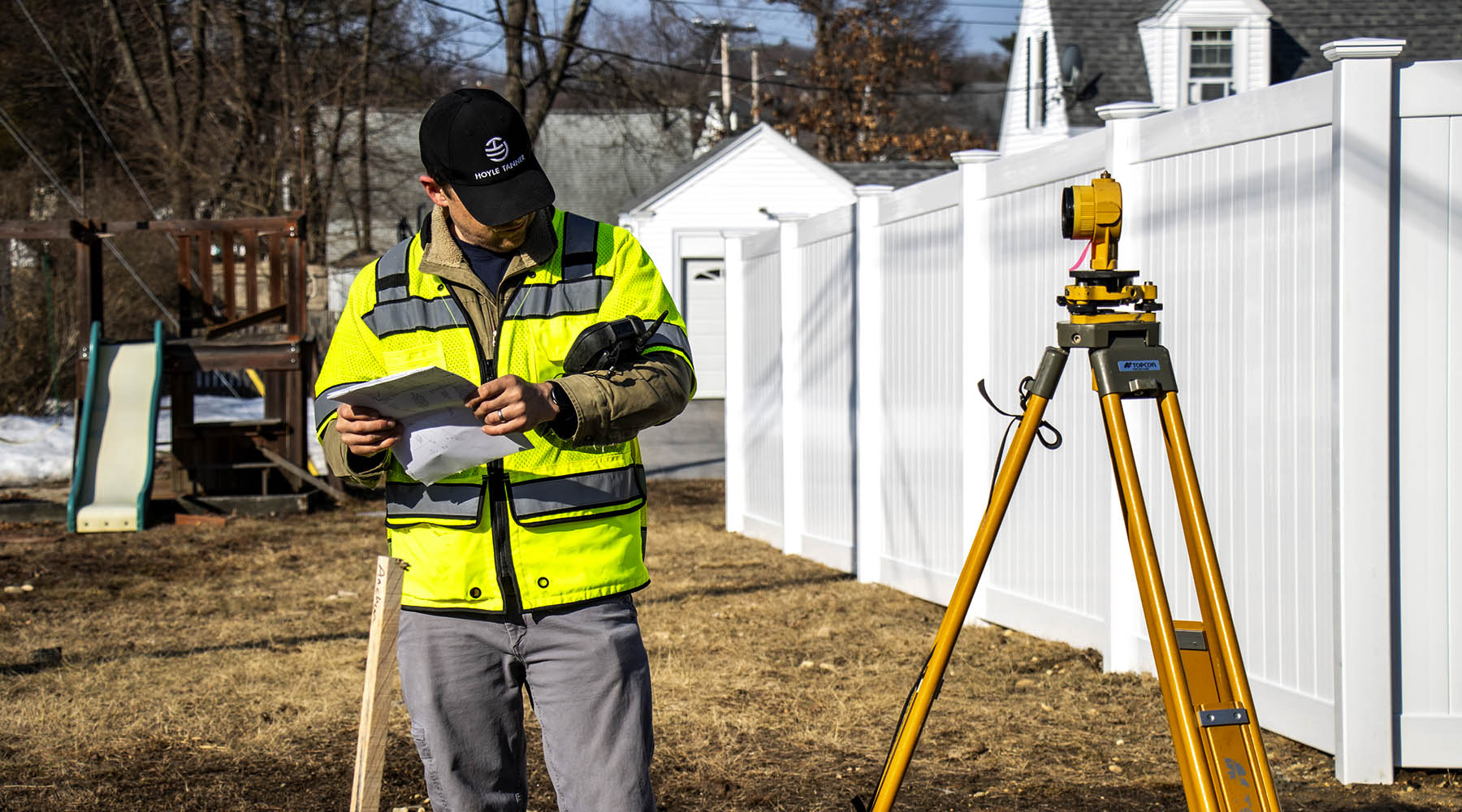
LAND SURVEYING SERVICES
- Boundary Surveys
- Topographic Mapping
- Construction Layout
- As-Built Surveys
- ALTA Land Title Surveys
- sUAS mapping
- Regulatory Permitting Support
- Utility Assistance
- Site Optimization Strategies
- Feasibility Studies
- Subdivision Planning
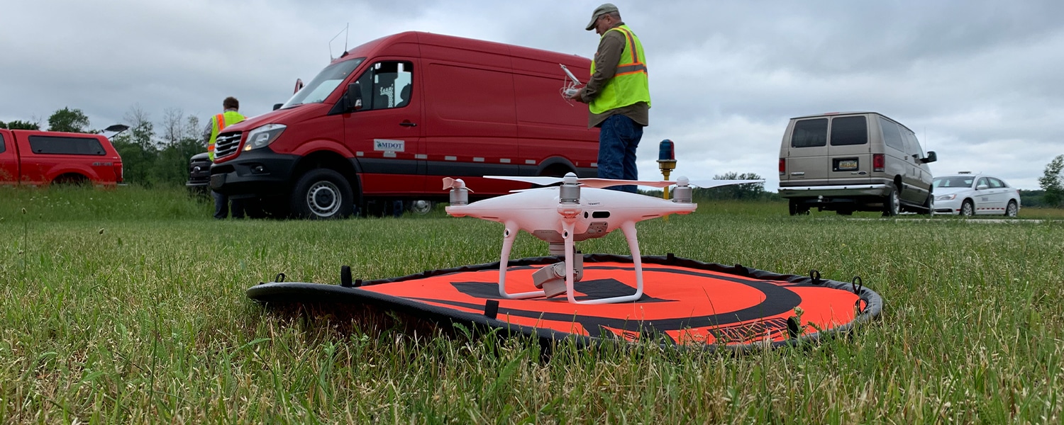
Michigan DOT – sUAS TrainingMichigan
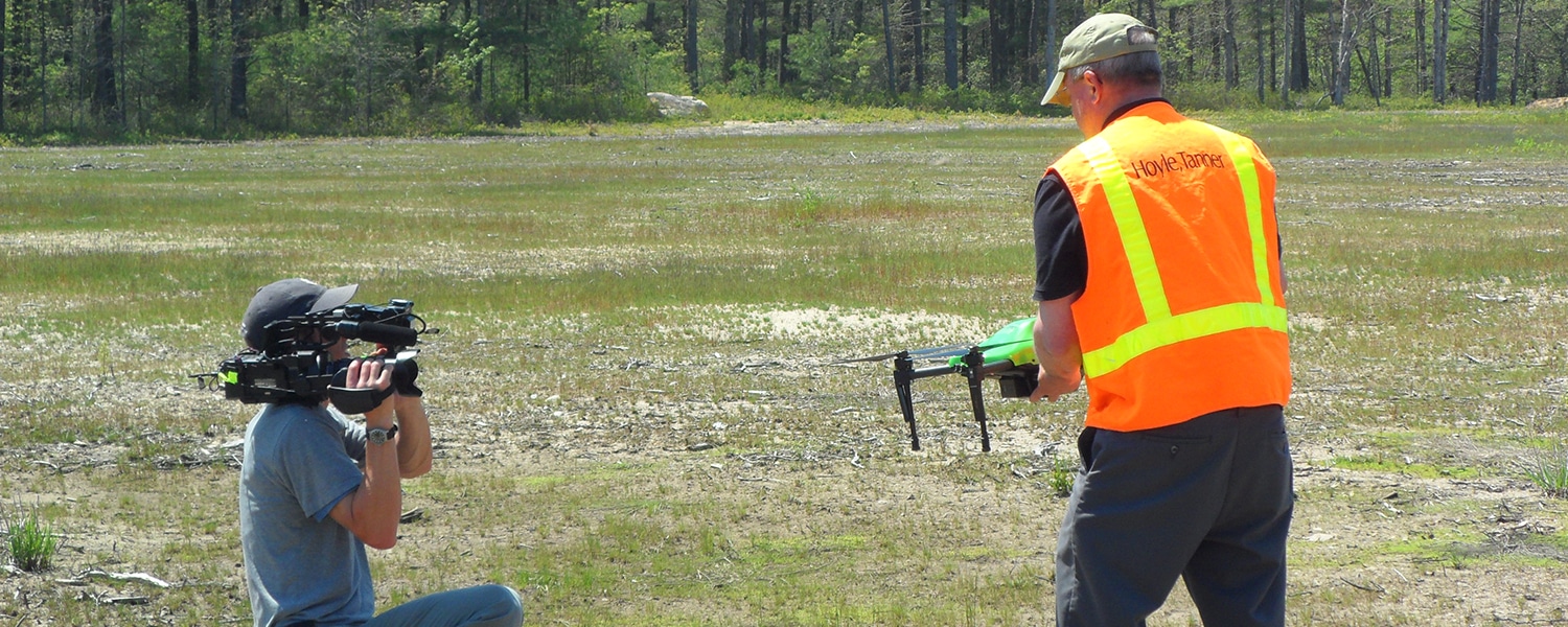
Drone Demonstration for Aircraft Accident InvestigationMassachusetts
Obstruction IdentificationCarrabassett Valley, ME
Obstruction StudyManchester, NH

Rehabilitate, Extend, Widen Runway 13-31 & Obstruction RemovalJackman, ME
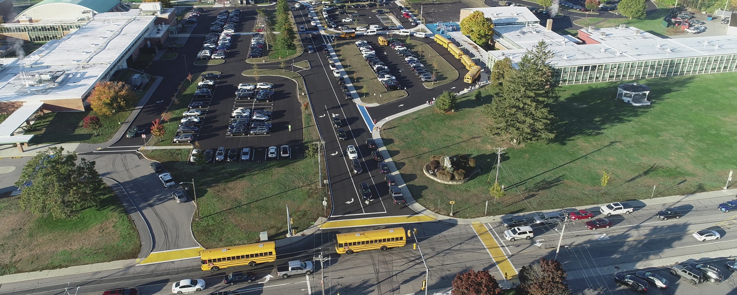
Dr. Christos Daoulas Education Complex Dracut, MA
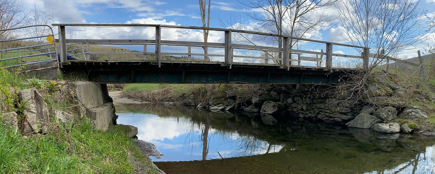
Wastewater & Streetscape StudyMontgomery, VT
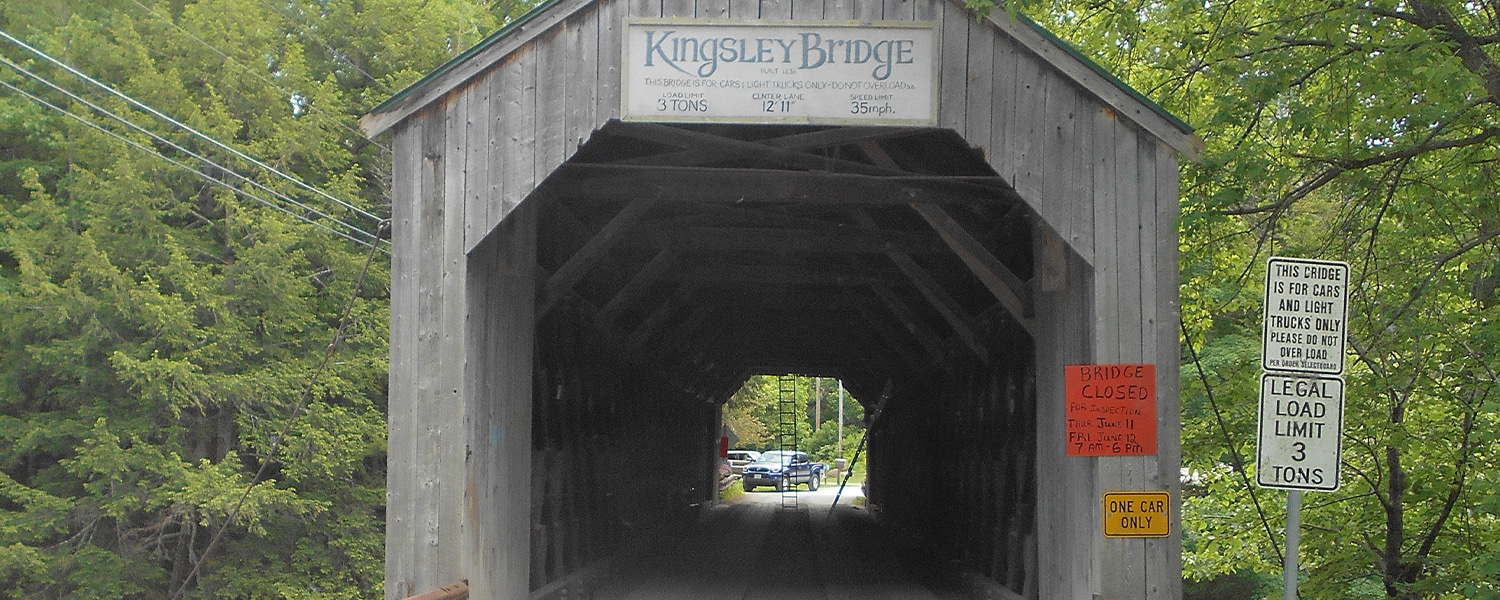
Kingsley Covered Bridge InspectionClarendon, VT
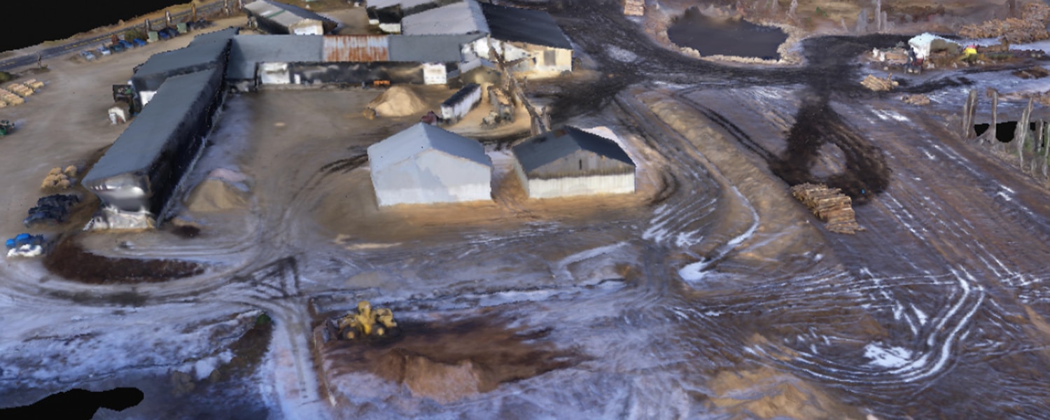
Lumberyard sUAS Data Collection/AnalysisMiddleton, NH
From the blog
Learn about ongoing projects and the innovative processes we employ for our clients.

Tyler Heinrich Reaches Major Career Milestone with Land Surveyor Licensure
Understanding Bat Survey Methods for Project Permitting
Inside Our Survey Team: Field Work, Technology & Collaboration
The Power of Surveying in Building Better Communities

David Jeffery & Tyler Heinrich Earn Licensed Surveyor in Training
Intern Spotlight: Allyson Kitchens