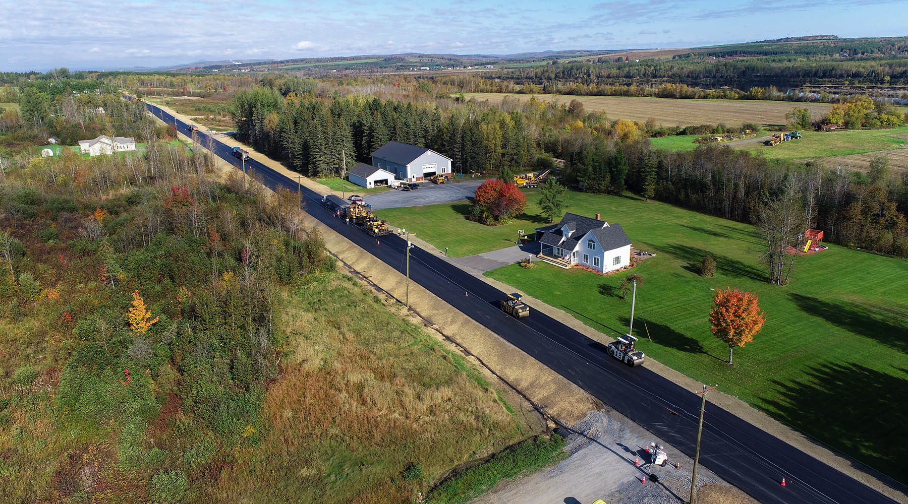
Sugarloaf Regional Airport lies in Carrabassett Valley Maine, home to the second highest peak in the Pine Tree State. Located just five miles from the over 4,200-foot peak of Sugarloaf Mountain, the terrain offers challenging aeronautical approach and takeoff terrain for general aviation pilots. Recent FAA required ground-based inspections revealed obstructions to the visual approach surface areas. As the airport’s engineering consultants, Hoyle Tanner suggested utilizing drone technology to conduct an abridged version of a typical airport obstruction analysis. During the course of a single day, our in-house remote pilots used Hoyle Tanner’s Lockheed Martin /Procerus Technologies Indago Quadcopter drone to collect the tree canopy elevations for Runway 17-35. This data set was subsequently analyzed, and the canopy penetrations plotted to create actionable tree removal plans for a future construction project.
SERVICES
2D & 3D Orthophotos
Ortho Photo Mosaic
Data Collection
Airport Planning
Approach Study
Final Design
Construction Administration
Construction Observation
Grant Administration
From the blog
Learn about ongoing projects and the innovative processes we employ for our clients.
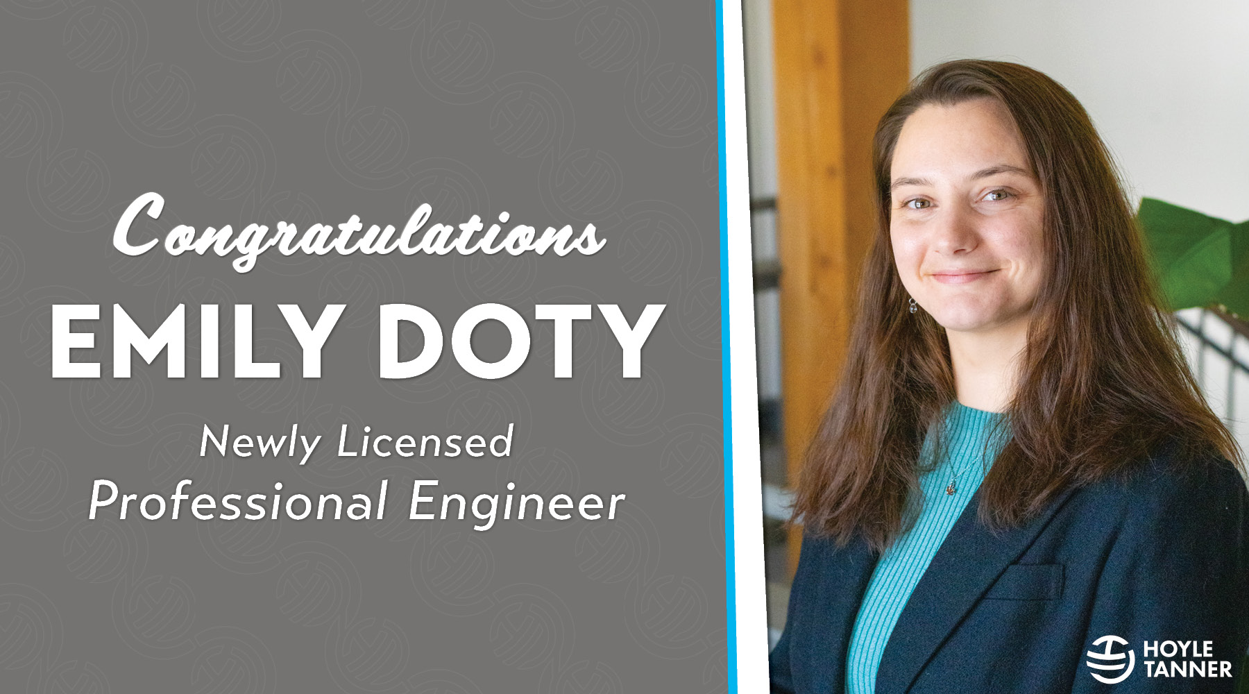
We are proud to recognize Emily Doty for successfully passing the Professional Engineering (PE) exam and attaining licensure, a significant achievement and an important milestone for any engineering professional....
Meet Marko Salih – Southeast Aviation Intern & Avid New York Knicks fan What drew you to Hoyle Tanner? The opportunity to focus on airport engineering and design was...
For transportation agencies, successful project delivery extends well beyond developing plans and specifications. The most challenging risks often emerge after a project moves beyond concept development. Drainage conditions evolve....
Every quarter, we recognize employees who make an exceptional impact on our teams, projects, and culture. Meet our Q2 2026 Movers, Shakers & Innovators and see why their colleagues chose to honor their achievements.
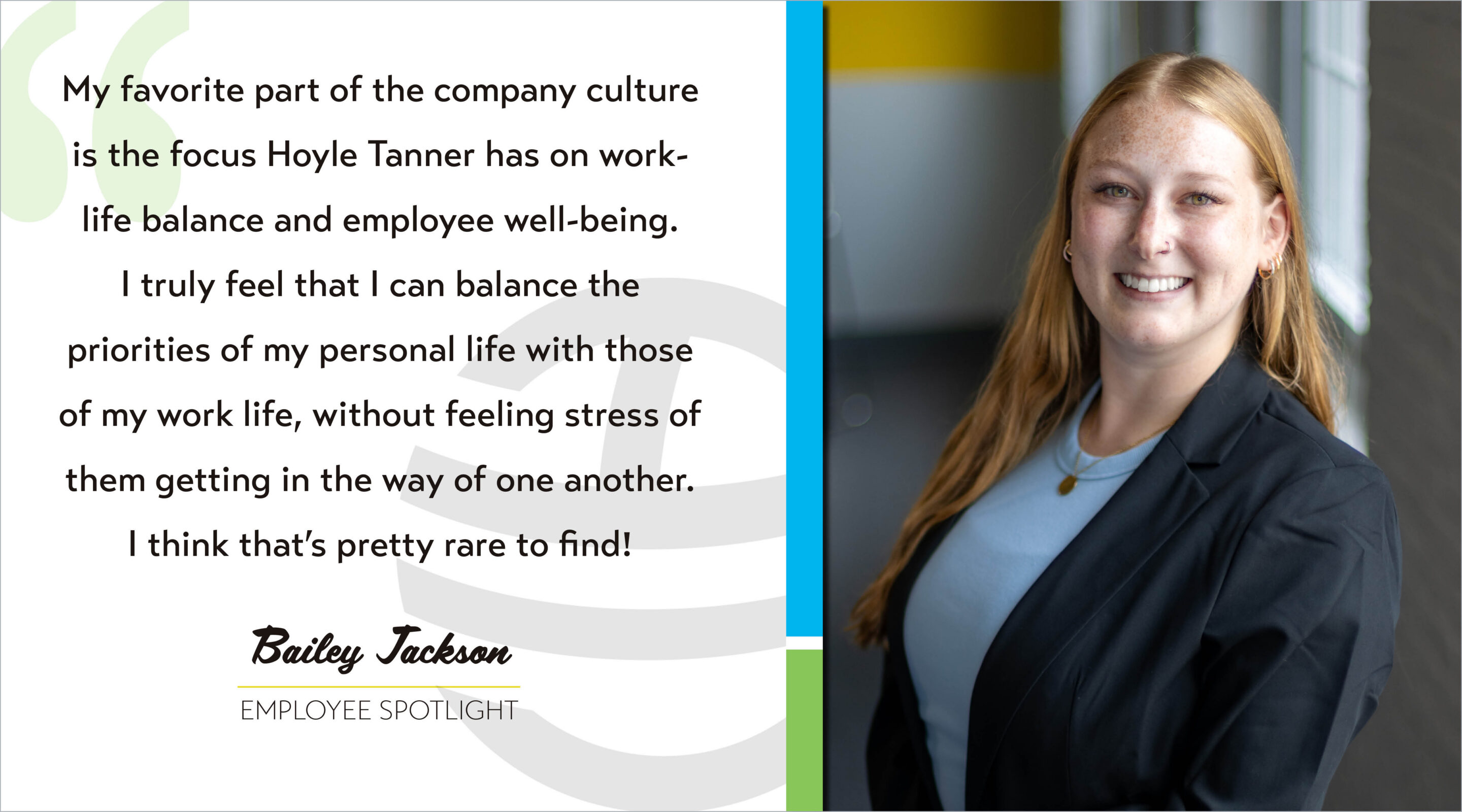
Meet Bailey Jackson – HR Coordinator & Human-Centered Thinker What drew you to Hoyle Tanner? I was working part-time as an HR Assistant at a local community college, looking...
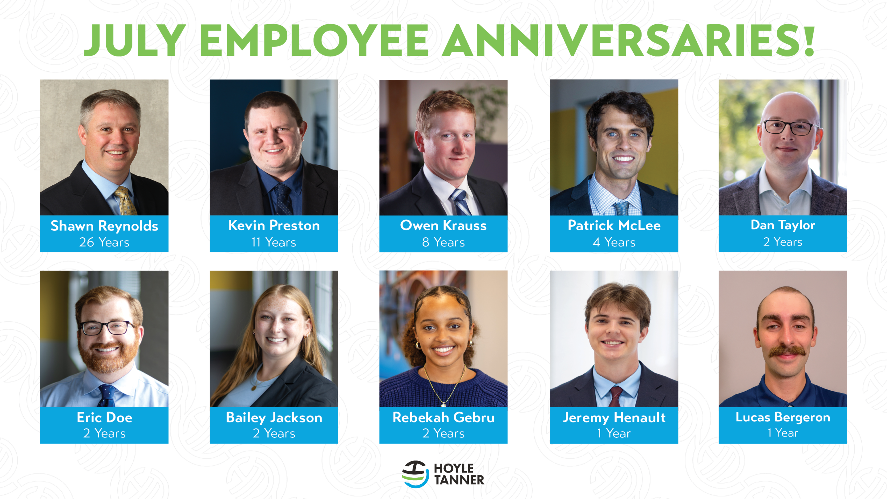
This month, we recognize the employees celebrating work anniversaries at Hoyle Tanner. Together, they represent 59 years of service to our company. We thank them for their dedication, hard work, and contributions to our team’s success.
Happy Parks and Recreation month! This month, we celebrate some cornerstones of our communities. When you think of public parks, maybe you think of Leslie Knope on the comedy...
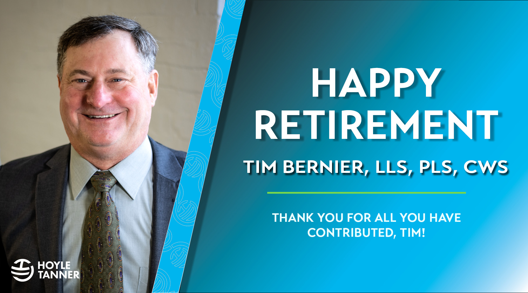
After 40 years in the civil engineering, surveying, and consulting industries, Tim Bernier, LLS, PLS, CWS, is retiring from Hoyle Tanner as Principal Surveyor. Throughout his career, Tim has...
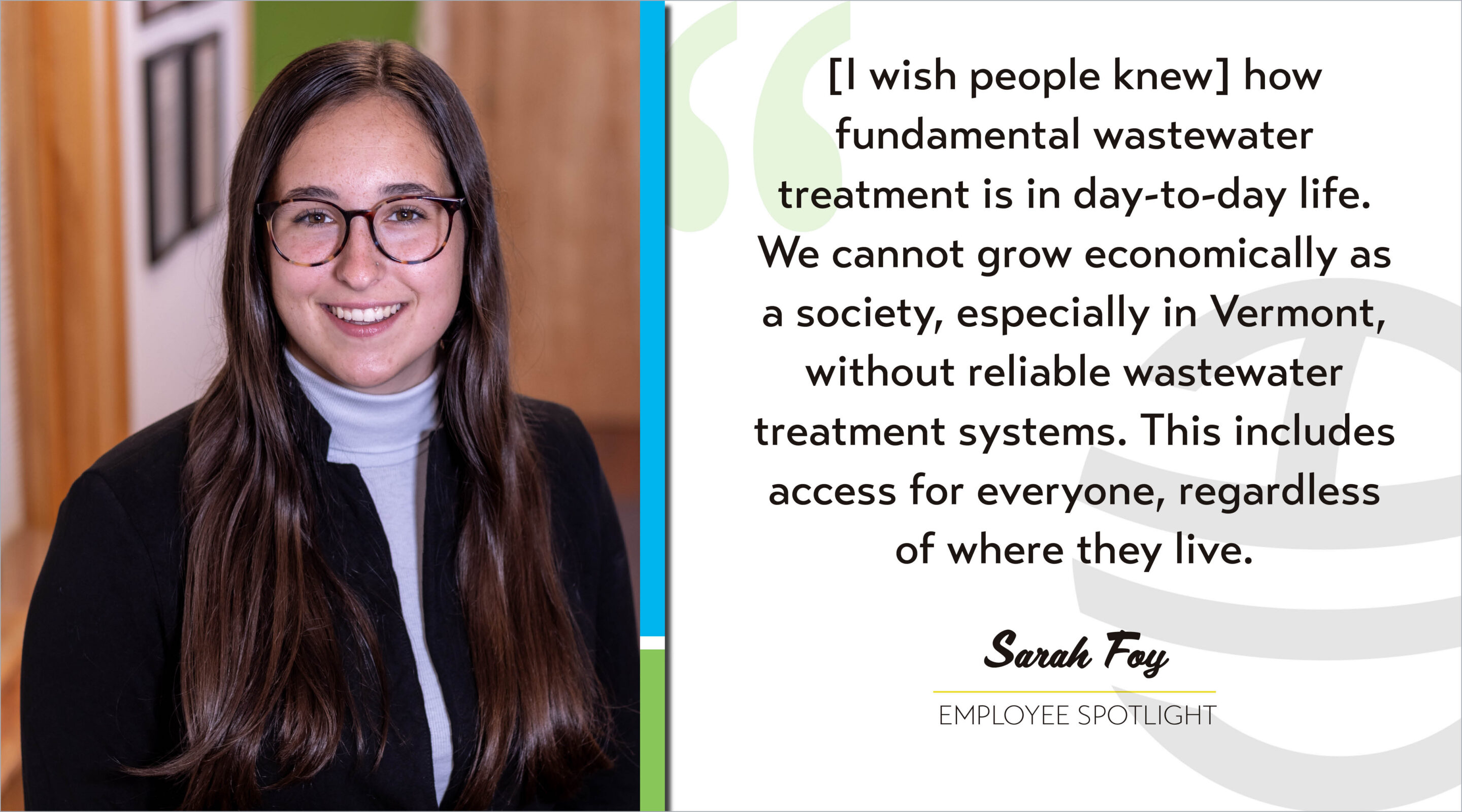
Meet Sarah Foy – Environmental Engineer & Wastewater Systems Advocate What drew you to Hoyle Tanner? The people! I worked in Matt Scarborough’s research lab in undergrad and heard...
!["[At Hoyle Tanner] there is a strong encouragement to keep growing professionally, and no one hesitates to help when you have questions or are learning something new. That positive approach to development creates an environment where people feel comfortable challenging themselves and building new skills." - Marko Salih](https://hoyletanner.com/wp-content/uploads/2026/07/Featured-Images_Marko.jpg)