While often overlooked, land surveying is a critical component in the residential development process. Many people assume that the only thing to consider before buying and transforming property is zoning and construction costs, but the first step is to make sure the property is actually suitable for construction before too much money is lost. With extensive experience in engineering and land surveying services, our team provides the foundational support that not only guides successful projects but also plays an important role in addressing New England’s ongoing housing crisis.
Why Surveying Residential Lots Matters

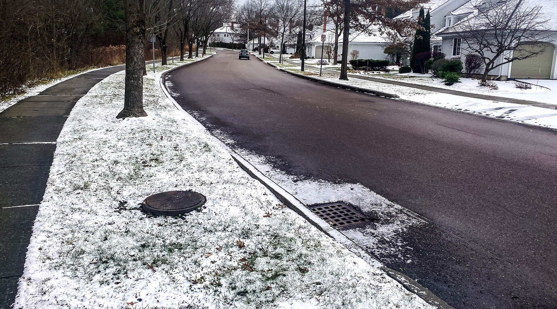
Before any residential project can begin, land surveying is essential for confirming boundaries, evaluating site conditions, and ensuring regulatory compliance. This foundational step helps developers avoid setbacks such as disputes, zoning issues, and unexpected environmental challenges which can lead to costly delays.
As the housing demand increases, Hoyle Tanner’s expertise in engineering and surveying has proven vital for projects throughout New Hampshire. By combining diligent deed research with advanced surveying techniques, our team provides accurate mapping and identification of easements and setbacks, helping property owners and developers sidestep complications and move projects forward smoothly.
How we Use Technology to Enhance Surveying Success

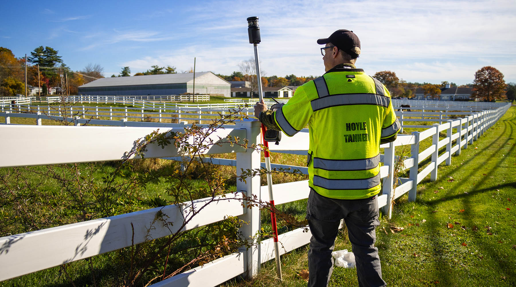
When it comes to technology, our team combines trusted methods with innovative tools like robotic total stations, GPS mapping, and high-flying drones to capture every detail quickly and accurately. Our digital record-keeping system makes accessing and sharing survey data effortless. Drones provide aerial images that give planners a bird’s-eye view, while our traditional ground surveys ensure we meet the precision required by law. In a world full of boundaries and regulations, even with modern technology there is still no substitute for boots on the ground.
GPS mapping, in particular, opens up new possibilities for us. By letting us tie projects to official coordinate grids, even if the physical markers themselves disappear, the data remains. Despite that, achieving survey-grade accuracy with GPS takes careful procedures, expertise in projections and ellipsoids, and a keen understanding of how gravity and complex math come into play. This technology not only speeds up the work, it also unlocks a wealth of public mapping data and brings a whole new level of confidence to planning.
Surveying & Engineering as a Combined Resource
Being able to coordinate between surveying and engineering teams means a streamlined process. Working together means that potential conflicts between sites and designs can be mitigated early in the process or avoided entirely.
Survey Project Manager Jonathan Crowdes says it affects the bottom line.
“Having both surveyors and engineers under one roof at Hoyle Tanner allows us to seamlessly integrate site data with design plans. This collaboration not only streamlines the permitting process but also helps identify and resolve potential conflicts early — saving time, money, and resources for our clients.”
Housing Projects Across Southern New Hampshire
Hopkinton: We’ve done survey recently in towns like Hooksett, Bow, and Hopkinton, where we have played a vital role in the creation of new housing subdivisions. To maximize the number of new units in Hopkinton, Hoyle Tanner worked with a client and the Town to obtain zoning relief.
Hillsborough: Hoyle Tanner worked with the developer to re-subdivide the land so that two single home lots that had been combined became two lots again with duplexes. Essentially doubling the amount of people that could live on this property without losing the character of the neighborhood, it was thoughtful survey and planning that led to a greater contribution to the housing crisis.
Dunbarton: Our surveyors also worked on a cluster subdivision, which will provide many rural single-family homes. It optimizes land use and prioritizes preserving a large tract of undisturbed forest. This project will help alleviate more of the housing crisis while being good stewards of the environmental impact development can have.
Environmental Impacts
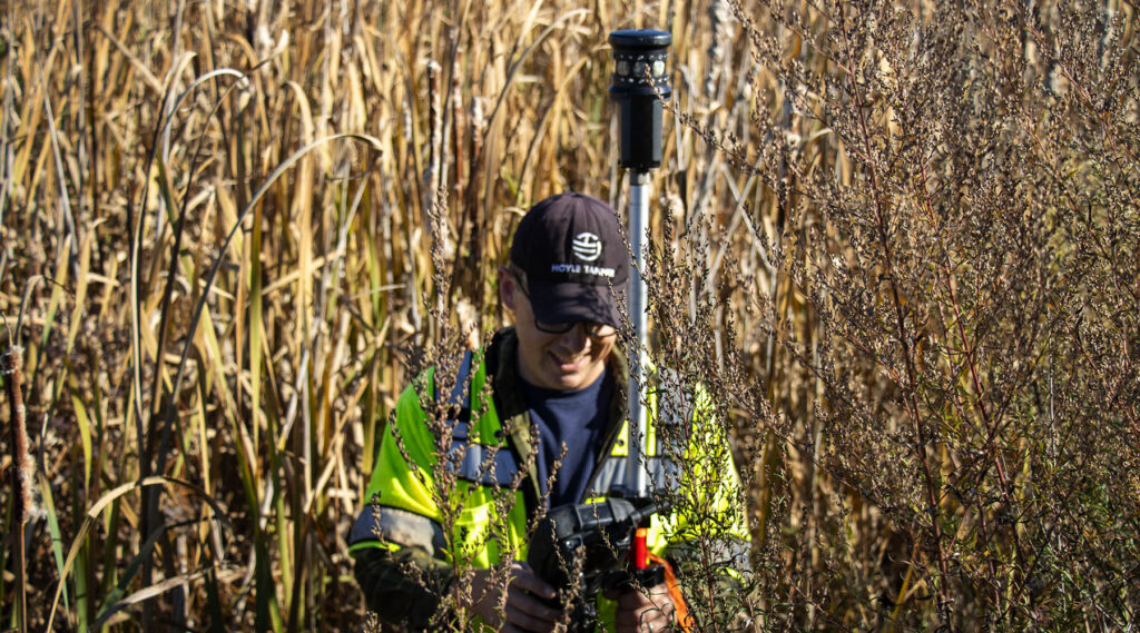
While this article has focused on surveying’s role in property boundaries, we also want to highlight the important part it plays in protecting the environment. For example, many properties contain wetlands in New Hampshire, and properly documenting and mapping them is critical. States have regulations for protecting wetlands that developments must abide by. Wetlands aren’t the only things impacted, though; drainage and stormwater runoff can also have a big impact on a project’s development. By integrating wetland mapping into the surveying process, Hoyle Tanner enables developers to plan with care, meeting environmental regulations and reducing their impact on local ecosystems.
The Future of Surveying
Looking ahead, communities that invest in carefully planned housing supported by expert surveying will be well-positioned to address future housing needs. By leveraging our combined surveying and engineering expertise, we help ensure every project aligns with local priorities and remains sustainable over time. If your community has a site requiring professional surveying, we encourage you to contact us!