Summer 2022 will mark my 30th year in the environmental field – I know, that is surprising since I look so young, all I can say is sunscreen is your friend! If you have lived with a high school senior, as I currently am, you can understand that there is a lot of looking forward and back at the same time, which has caused me to reflect on my career as well, both the changes I have experienced and what the future will look like in this field.
Career Beginnings

When I began my career the summer of 1992, I had just graduated college, was looking to go to graduate school, and was hired to conduct water quality sampling on the Ohio River for the City of Cincinnati’s Wastewater Treatment Facility. I convinced them I could drive a boat; I couldn’t but I learned fast! Racing up and down the wide river against the huge barges of coal seemed exciting and we only occasionally lost a sample or dinged the boat trailer. There was no cell phone, no GPS, and while we did type the reports on a computer, the “graphics” had to be done by hand using – does anyone remember these – plastic scratch-off hatching sheets. The second part of my job was assisting in field work for a new gas pipeline across Pennsylvania, and for this, we used a Gazeteer and USGS topographic maps – physical, paper maps (the large format color version). Once, the pile of maps blew out of the car as we drove down the highway, having to roll all the windows down since there was no AC in our rental car; we had to go back and fight traffic to pick them up! (Read more about my non-linear career path in Part 1.)

I bring these two examples up because I think what has changed the most in looking back is how easy it is now to access data – all different kinds of data – since then. Not only can we navigate and communicate much better thanks to the internet, email, GPS and cell phones, but even in the past five years, there has been improvement in the types of data that can be accessed online and the level of detail that can be viewed.
For example, in 2019 the NH Division of Historical Resources (NHDHR) created the Enhanced Mapping & Management Information Tool (EMMIT), a web-based cultural resource portal that uses GIS technology to provide a comprehensive map-based inventory of historical and archaeological records. Until EMMIT came along, to complete a review of these paper records, someone had to go to the State Historic Preservation Office (SHPO) in Concord, New Hampshire. And in 2019, the New Hampshire Department of Environmental Services (NHDES) released the Wetland Permit Planning Tool (WPPT) that provides online access to multiple layers of data, including soils, wetlands, floodplains, parcel polygons, parks and recreational facilities, to name a few.
Using this online tool to identify multiple site parameters means that I do not have to search for a single resource (soils, for example) using an online database that will only provide data for that specific item. Tools like this are now available in most New England states Hoyle Tanner works in, and is not only an important time-saver, but also allow us, from the earliest stages of project scoping, to have a good idea of what features may need to be resolved. Do we need a wetland permit, is there an endangered species in the area, are the soils suitable for construction? There are so many other questions that previously had to be chased down either on different web tools, or reviewing paper maps, reports or files, or even driving to the site to collect that information. Of course, there will always be site information that can only be collected by hand, and a picture is still worth a thousand words, but our jobs have been made so much easier by the explosion of online data and GIS-based mapping tools that can allow us to view the site as we sit in our offices. Given the recent difficulties of COVID that forced most of us to work from our dining rooms or kitchens, I would say that in many ways we could not have been able to continue working steadily through the pandemic without this evolution.

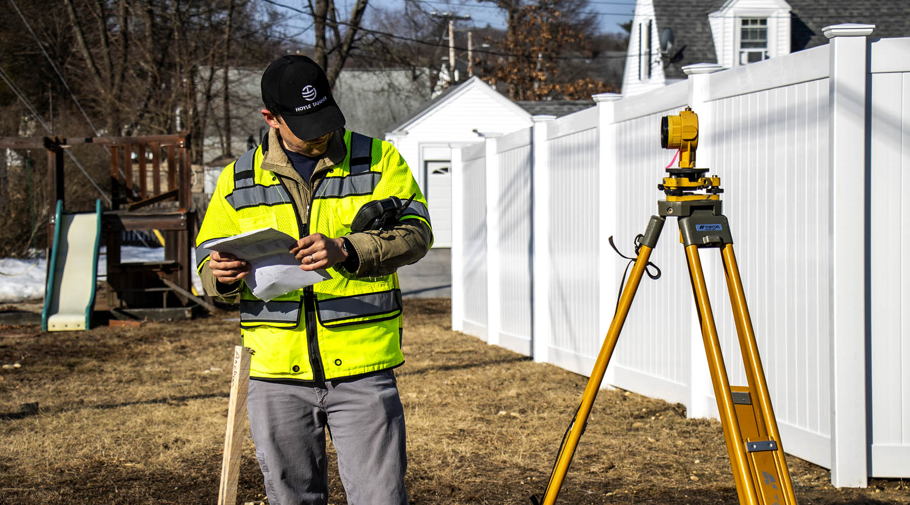
In the future, can it get faster and better? Definitely! There is still unavailable data that we hope will come online, or currently available data that will be expanded on. And faster seems to be the goal for much of computing – and we all know that saving time saves money! Hoyle Tanner recently invested in one of the newest versions of GPS to allow us to record field data (wetland flagging, for example) that is much smaller in shape and weight and has a faster processor than other GPS units we have used; this new tool is much easier to carry on those long hikes across a large parcel, while at the same time it provides the accuracy needed to create maps and plans.
While I can’t say that I will enjoy my child going off to college, I do look forward to the changes that will come in the future that will save time and effort in my work environment so that I am able to convey that time savings to our clients.
Easier & Harder at the Same Time
The permitting process over the past 30 years has changed in so many ways but doesn’t seem to get less complicated. Each state we work in has made considerable efforts to streamline the permitting efforts they require, including using online application submittals and review processes, coordinating permits through the same reviewer, or making it clearer to the user what is expected to receive a permit, and the steps necessary to complete the applications.
As development has expanded over the past 30 years, the efforts to protect the remaining resources have had to ramp up accordingly, and in most states, this has resulted in adding rules and requirements that must be addressed in developing a site. For example, with the issuance of new wetland rules by NHDES in 2019, some projects can now be permitted easier, while others became more challenging to permit. The best news on that end is that I have yet to meet an agency staff person who has not been open to the knowledge of this – they know the rules are complicated – and who has not been willing to work with us to ensure that we meet the rule requirements while achieving that important balance of protecting resources while addressing the goals of the project.
The Environmental Permitting team at Hoyle Tanner is always aware of the changes and efficiencies happening within this world, and we love to help clients navigate what can be a very complicated process. Feel free to reach out to me with any questions and we will be happy to help you!


