Clearing the air! This is what our small Unmanned Aircraft Systems (sUAS – commonly referred to as drones), operators Evan McDougal, CM and Patrick Sharrow, AAE are incorporating into airspace analysis. Evan and Patrick are just two of Hoyle, Tanner’s professional Part 107 remote pilots who are utilizing photogrammetry and advanced autonomous sUAS technology to analyze and access airspace obstructions. With recent media highlighting the challenges of integrating sUAS operations into the National Airspace System, it is an exciting time to focus on the safer, less expensive, and expedient capabilities that these vehicles make possible.
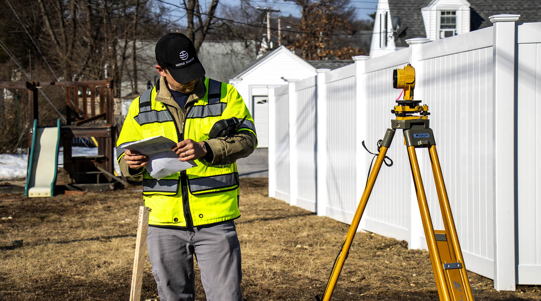
Many organizations, both private and government, are interested in what these small flying sensor system platforms can do. For instance, many state aeronautics agencies that oversee the safety and operation of multiple airports can spend weeks with multiple survey teams and inspectors traveling from airport to airport assessing tree canopy and surrounding buildings – all in an effort to determine if there are obstructions to FAA approach and departure surfaces and pilots utilizing the runway.
In contrast, a drone can be flown by a trained and qualified pilot to collect accurate obstruction data. The three-dimensional results can show the entire area in many formats in a fraction of the time and cost it would take a ground survey crew or aerial survey.
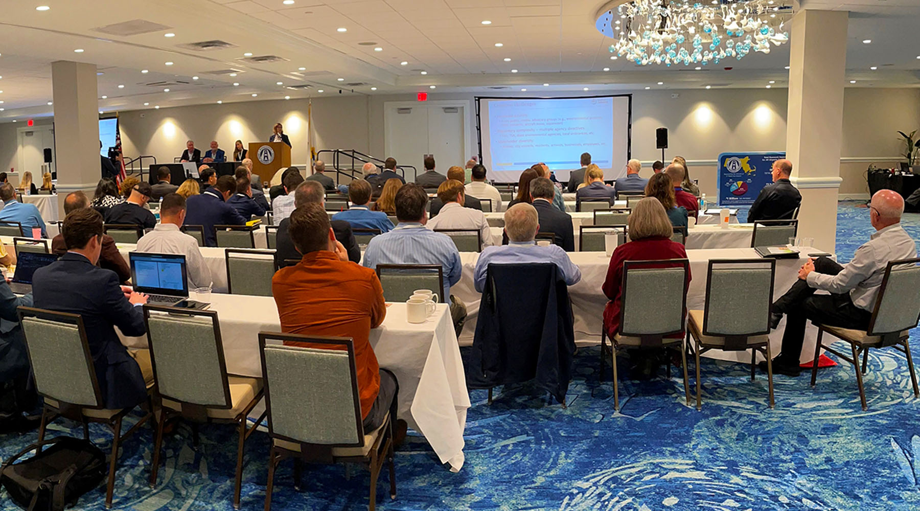
Hoyle Tanner is passionate about increasing safety and efficiency in aviation. During the September 2018 National Association of State Aviation Officials (NASAO) Annual conference in Oklahoma, Evan McDougal demonstrated his enthusiasm for the emerging technology and the airspace analysis applications we have developed.
Evan showed interested State Aeronautics Department Representatives how they could benefit using sUAS systems for obstruction analysis. Bryan Budds, Transport and Safety Section Manager at the Michigan Department of Transportation (MDOT), was quick to recognize the benefits of this capability and the opportunity to advance the MDOT existing drone program. He arranged for Hoyle Tanner to spend three days training DOT employees on how to collect accurate obstruction data using drones as well as process it into meaningful deliverables.
The information gathered in the sUAS flights is used to create detailed 3D models of the airport including trees, pavement condition, ground contour elevations, and surrounding land development. Once collected, the data can be used to graphically depict airspace approach corridors that are not able to be seen with the naked eye. Obstructions are clearly shown protruding into protected airspace making it much easier for the airport and responsible landowners to agree on obstruction removal alternatives.
With the proper coordination of sUAS data collection and software processing systems, “clearing the air” can be done economically, accurately, and efficiently. The exciting reality of the sUAS market is that the sky is the limit! Hoyle Tanner is committed to continually evolving and developing new opportunities to increase safety and efficiency in aviation moving into the future.
This article was written by Patrick Sharrow, AAE.


