The Unsung Beauty of Covered Bridges
Covered bridges, to me, were the quintessential structures of the 19th century, and to this day, can still inspire awe. These are bridges that were often built from trees cut locally, hand-hewn, brought to the site by livestock and assembled without modern machinery. When completed, you have a sort of house of cards; a wooden plank deck spanning a stream or raging river, walls reaching up from its sides containing many vertical and diagonal wooden members, a roof covering the expanse containing even more diagonal members, all held together with mortise and tenon joints and wooden pegs. This is a mongrel of bridge construction that has a beauty to it like no other, blending in with its surroundings as if it were always there, the backdrop for postcards, calendars and many personal moments shared between friends and loved ones. Sadly, most of these bridges have gone into the pages of history – neglected beyond repair, victims of mother nature, casualties of vandals, replaced with modern structures or simply forgotten. Those that still exist are revered and protected passionately by those who still believe in their relevance and their beauty. They do however require regular inspections and maintenance to ensure they can meet the needs of the communities they serve.

Inspections are Challenging for these Structures
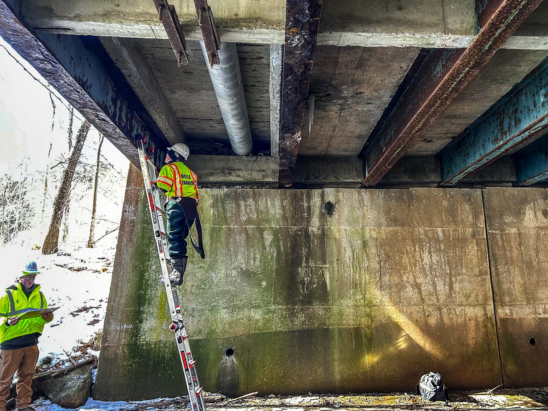
Over the years, I have had the awesome opportunity to inspect many of these beautiful works of craftsmanship. These inspections are laborious in nature, requiring multiple days for a thorough inspection, getting covered in dirt and dust from crawling around the hard-to-reach spaces. It’s vital to know the size and condition of as many members as can be seen and reached, recording all that is found – dimensional losses, an array of structural deficiencies including but not limited to cracks, splits, checks, insect infestation and rot to name a few. The tape measure, extension ladder, headlamp and digital camera are tools of the trade. But what about inspecting the places that are more difficult or impossible to get to because of the length and height of these structures or the geography they span? Simply put, you get what you can, as good as you can, and the rest is filled in with existing plans and many, many digital photos. The camera is your best friend when inspecting and is an invaluable resource. But even so, photos can be deceiving – awkward angles, poor lighting and size distortion, cause confusion as to what is truly being captured. As for inspecting floor systems, getting underneath is the only way to go, either by rigging, rope climbing or even by boat if the height above the water makes it feasible.
When the Standard Inspection Options Aren’t Adequate
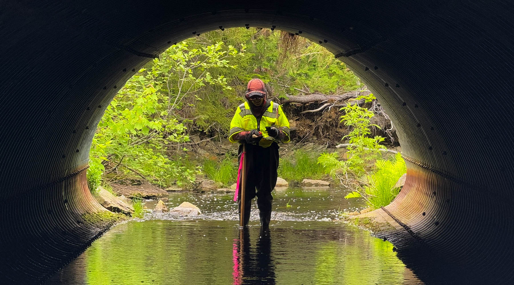
Recently I traveled to Clarendon, Vermont with Josif Bicja, PE to inspect the Kingsley Covered Bridge for a scoping report to determine the feasibility of multiple rehabilitation options. This is an historic 119-foot-long, single span, town lattice bridge spanning the Mill River flowing 35 feet below. The Kingsley Covered Bridge poses the same issues as any other covered bridge inspection, but in addition, because of the height above the stream, it makes it difficult if not impossible to get a good visual of the floor system and siding. A rigging company could have been hired to provide access to inspect the floor system through the use of bridge trackers or bucket boats which will get you up close to get that good visual, or the bridge could have been climbed, but these options are not economically feasible for a scoping study. The options you are left with is to don a pair of waders, carefully walk out into the water with your clipboard and camera and capture what you can. If the water is not passable, you stand on the shore and do your best to get the information you need.
There is a better way. The drone. Those sci-fi looking machines, with their distinguishable propeller sound that are used widely in law enforcement, the military and with private enthusiasts alike, have been making their way into other useful applications. Over the past few years, engineering companies like Hoyle, Tanner have seen the value of drones for public relations documents, project marketing, 3D visualizations, traffic studies, and now bridge inspections. The height of this bridge over the Mill River made it a perfect candidate to fly a drone and test its capabilities in this capacity. Drones have safety features that will not allow them to fly close to aerial obstructions, like trees and overhead utilities, or fly in strong winds such as updrafts under a bridge, which are both prevalent at this site. The safety features would have to be turned off for the drone to perform its inspection well, which meant that the steady hand of an experienced pilot would be essential.

Patrick Sharrow, AAE from our Burlington, Vermont office drove down and met us on-site on the morning of our second day inspecting the bridge. It took Patrick just a few moments to familiarize himself with the structure and geography of the site, understand what we needed the drone to capture and determine the best launching spots for the drone. Looking at the handheld monitor, Josif was able to give instructions as to where he needed the drone to fly, while I acted as spotter to make sure the drone kept a safe distance from any aerial obstructions and Patrick executed the flight. For the underside of the bridge, it flew a few feet from the structure providing the ability to clearly see the members that make up the floor framing, including joint locations and condition. Then the drone was flown along the sides of the bridge and along the roofline, capturing a similar up-close visual of the vertical siding and metal roof conditions that we normally would not have been able to see. The videos captured of these hard-to-get-to portions of this bridge will allow for better recommendations for the multiple rehabilitation options, leading to more accurate costs for the client. We then took the drone to a higher elevation and flew a few hundred feet upstream down towards the bridge, giving a bird’s eye view of Mill Stream. Patrick flew it at different elevations and angles capturing fantastic footage of the morphology of the stream and a greater scope of how this bridge is situated on the site. Portions of these videos could be used in public information meetings to help educate the public and as tools for Hoyle, Tanner.
Day-to-Day Needs of the Community Combined with Aesthetic Nostalgia
In less than an hour, we were able to gather more information about this structure than we would have been able to because of the site restrictions this bridge poses. The best part is that all players in the game benefit from this. The design team will have the ability to make more accurate rehabilitation recommendations. The client will have the advantage of receiving more accurate cost estimates for each rehabilitation option. The public will receive the best rehabilitated structure option, marrying together the day-to-day needs of the community and the aesthetic nostalgia it provides to all.


