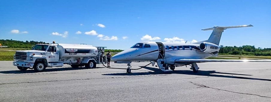
Bradley International Airport (BDL) leadership was concerned that the growing age of some of the drainage systems at their airport could cause future operational and safet y issues. Some of the infrastructures to catch or transport water runoff and groundwater are in high aircraft traffic areas – and the airport operators thought that if not surveyed and addressed, the infrastructure may fail under the aircrafts’ weight. The best method for solving their problems and preventing similar concerns in the future was to implement asset management practices for managing their inventory and knowing when to replace or rehab it.
Having provided professional engineering services to Connecticut Airport Authority (CAA) for the past 10 years, Hoyle Tanner has design experience at BDL and was well prepared to survey the existing infrastructure (catch basins, terminal surface areas, etc.) and provide analysis for next steps. The project’s goal is to deal with the problem comprehensively by taking inventory and tracking infrastructure thoroughly.
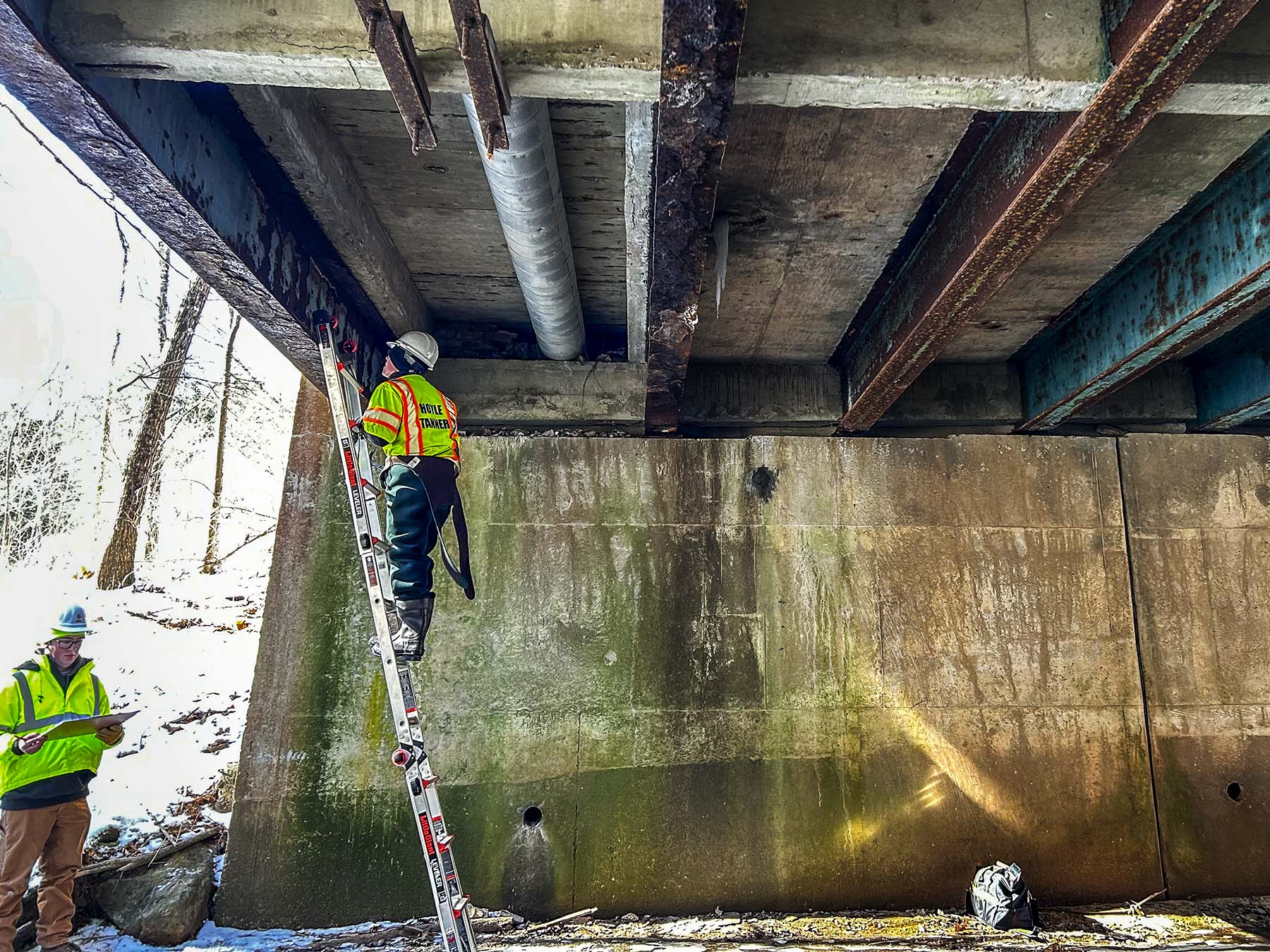
To tackle a problem of this size and with pressing concerns, Hoyle Tanner partnered with Vortex Companies to begin surveying existing conditions utilizing Multi-Sensor Inspection (MIS) and technologies such as CCTV, LIDAR, and GPS. Our team prioritized examining the runway environment and the terminal surface area, followed by the taxiway network, various parking, and other lower-priority areas. Vortex utilized MIS and our team provided GPS location and the engineering perspective.
In spring 2021, our team finished field investigations and the data confirmed our assumption: compromised drainage structures. However, the good news for the airport was that none of the structures were in danger of failing immediately. Hoyle Tanner and Vortex developed a GIS database for the airport; all of the information about the existing structures is captured and displayed in two methods in a GIS software program.
National Geographic explains GIS in this way, “With GIS technology, people can compare the locations of different things in order to discover how they relate to each other. For example, using GIS, a single map could include sites that produce pollution, such as factories, and sites that are sensitive to pollution, such as wetlands and rivers. Such a map would help people determine where water supplies are most at risk.”
What this means for the airport is that their team will be able to track the lifecycle of their drainage infrastructure and create a practical improvements program.

In lieu of replacing the structures in front of the terminal – which would be invasive and intensive, shutting down operations for a long time – we will apply designed geopolymer lining technology to rehabilitate structures in place. That lining will be installed this fall.
Phase two of this project will take a comprehensive look at stormwater pipes for the remainder of the airport, so while this project is not complete yet, the airport is developing a budget and financial plan to proactively improve with an informed and sustainable approach.
Please reach out to us if you’d like to know more about asset management strategies for airports. Contact Bob Furey, PE – Division Manager of Northeast Aviation Services. Hoyle Tanner is conscientious about environmental changes and is developing an internal sustainability plan. For more on our sustainability initiatives, reach out to Environmental Engineer Aidan Short, EIT and follow our page for updates!

